Comanche Bluff Trail Photos
Return to Comanche Bluff Trail
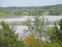
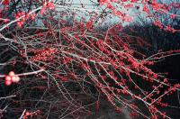
one can get lost along this southern section (Photo by
jimmy peace)
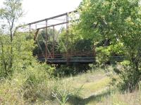
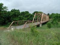
one of the truss bridges on the trail (Photo by
jimmy peace)
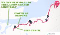
We couldn't find a trail around the inlet marked "Slough of Despond." We followed a jeep track for a while, but some hunters were really letting the local wildlife have it, so we turned around. (Photo by
plectrudis)
An especially nice color combination--prickly pear and the orange-berried possumhaw. Most of the trail was shadier, rockier, and less flat. (Photo by
plectrudis)
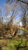
Trail has two old iron bridges and loads of small footbridges. This was one, crossing a small creek + mini swamp. (Photo by
plectrudis)
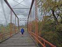
Crossing Friendship Bridge (Photo by
Eveline)
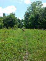
Tall grasses obscure the trail in places. (Photo by
crocodile235)
This river access point is easier to use to climb out of the river after swimming. The other river access area is pretty steep. (Photo by
crocodile235)
The Hoxie Bridge is one of the old Williamson County bridges salvaged from the scrap yard for the trail. (Photo by
Austin Explorer)
-small.jpg)
The trail consists of a mix of wooded segments and open prairie. (Photo by
Austin Explorer)
-small.jpg)
A few portions of the trail are a little challenging. Here I had to crouch to get under the brush in a creek bed. (Photo by
Austin Explorer)
-small.jpg)
Not all of the bridges on the trail are historic or overkill. (Photo by
Austin Explorer)
-small.jpg)
A view of the lake along the trail before plunging into the woods again. (Photo by
Austin Explorer)
-small.jpg)
This carpet of driftwood provides an obstacle along the trail. (Photo by
Austin Explorer)
-small.jpg)
After the trials and tribulations, a serene segment in a glade. (Photo by
Austin Explorer)
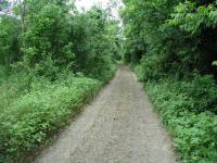
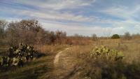
A few segments of the western end of the hike follows a jeep trail. (Photo by
Austin Explorer)
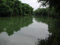
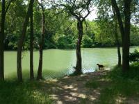
The San Gabriel River before it empties into the lake. The primitive camping area here was deserted. (Photo by
Austin Explorer)
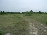
One of the larger pocket prairie segments along the trail. (Photo by
Austin Explorer)
This is a shot I took along the trail.Notice the hiking trail in the lower right hand corner. (Photo by
Miles)
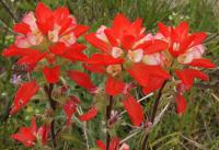
Indian Paintbrush (Photo by
IAHiker)
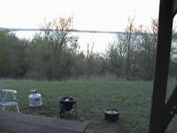
This is where we started our hike to Fox Bottom Primitive Campground, and then returned. (Photo by
Miles)
Next 