Mission Tejas State Park Photos
Return to Mission Tejas State Park
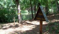
This is one of three trails that begin at the day use area. The 1 acre pond is in the background. (Photo by
kcameron)
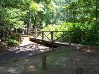
This bridge crosses the spillway for the pond. It continues across the dam, and the trail circles the pond. (Photo by
kcameron)
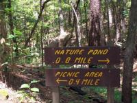
Most trails are clearly marked, and distances are often included. (Photo by
kcameron)
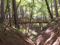
This photo illustrates how hilly the area is along the creeks and ravines. This photo is of the Big Pine Trail Bridge, but was taken from another trail along San Pedro Creek. (Photo by
kcameron)
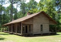
This is the Rice Family log home. Originally built in 1828 a few miles away, the home served as a stopover on the Old San Antonio Road. It was restored in 1974. (Photo by
kcameron)
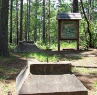
These are two of the four foundations for an old fire tower. This area on the trail is now called "Fire Tower Hill". (Photo by
kcameron)
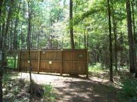
This bird blind is located about halfway between Fire Tower Hill and the campground. There are several bird feeders on the other side of the blind. (Photo by
kcameron)
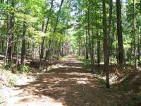
This is probably the best trail in the park. The farther is gets from the trailhead, though, the less developed it becomes. (Photo by
kcameron)
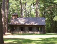
Mission Tejas, the first Spanish mission in the province of Texas, was established in 1690. This is a replica of the original mission. Unlike the adobe missions of the San Antonio and South Texas region, this mission was constructed of logs. (Photo by
kcameron)
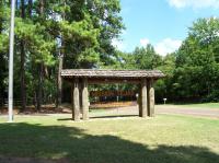
This sign marks the park entrance. (Photo by
kcameron)
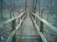
Dry under bridge (Photo by
mgbgun)
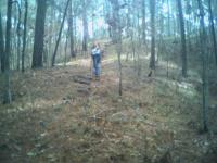
The easy "UP" part (Photo by
mgbgun)
Relaxing break 1/2 way thru (Photo by
mgbgun)
Break 1/2 way thru (Photo by
mgbgun)
Nice stone stairs,slippery in winter! (Photo by
mgbgun)