Mother Neff State Park Photos
Return to Mother Neff State Park
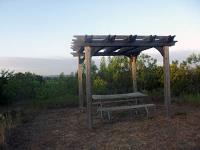
The Prairie Trail has one picnic table. (Photo by
Eveline)
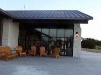
They have air conditioned bathrooms! (Photo by
Eveline)
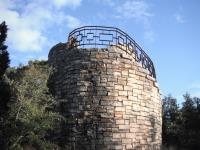
gives u a vantage point of the area (Photo by
jimmy peace)
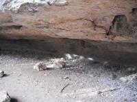
they call it the cave but its a shelter, but nice (Photo by
jimmy peace)
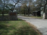
The entrance to the park. The ranger station and trailhead lie just to the right. (Photo by
Austin Explorer)
-small.jpg)
In the rocky creek canyon portion of the hike the terrain can be steep, but such spots are not too numerous. (Photo by
Austin Explorer)
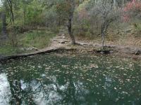
The Wash Pond is a peaceful spot to stop for a rest before the trail hits the prairie. (Photo by
Austin Explorer)
-small.jpg)
The trail is in great shape and bridges, such as this one, make crossing the creek easy. (Photo by
Austin Explorer)
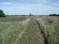
The northern portion of the park is an open prairie, with isolated tickets of Juniper. (Photo by
Austin Explorer)
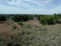
The overlook lies near the high point of the park and provides sweeping views to the south, over the park lowlands. (Photo by
Austin Explorer)
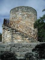
The distinctive rock water tower is the signature structure of the park. It also provides a platform for overlooking the surrounding area. (Photo by
Austin Explorer)
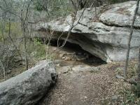
The cave served as shelter for the local Indians. (Photo by
Austin Explorer)
-small.jpg)
Despite a few rough spots in the canyon area, most of the trail is relatively flat and easy to navigate. (Photo by
Austin Explorer)
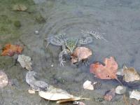
Contrary to our initial perceptions, we were not the only ones present at the Wash Pond. (Photo by
Austin Explorer)
-small.jpg)
As the trail nears the transition from canyon land to prairie pockets of trees and prairie intermingle. (Photo by
Austin Explorer)
-small.jpg)
Most of the trail through the prairie follows old jeep trails that were probably used when this was ranch land. (Photo by
Austin Explorer)
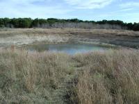
This prairie pond sits near the primative camping area near the back of the park. (Photo by
Austin Explorer)
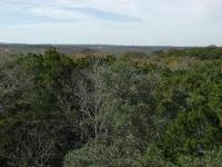
The view from atop the rock tower rivals that from the Overlook at the back of the park. (Photo by
Austin Explorer)