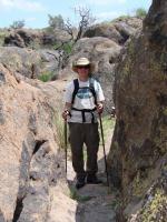
North Ridge Trail
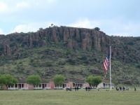
Ft. Davis from ground level
Log Photos
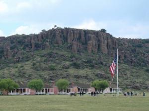
Ft. Davis
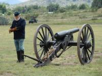
Artillery at Ft. Davis
Boulder field along the trail.
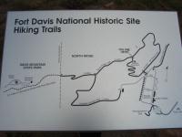
Trail map.
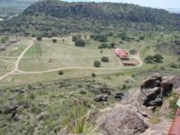
Looking South from scenic overlook.
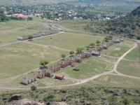
Looking Southeast from scenic overlook.
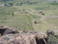
Looking East from scenic overlook.
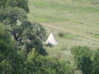
Teepee
Area around Fort Davis National Historic Site