Lake To Lake
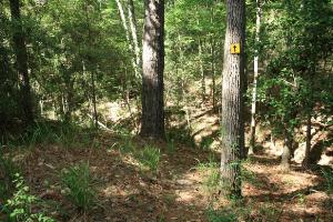
Yellow direction arrows (and aluminum blazes) mark the trail.
Log Photos
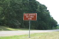
Direction Sign
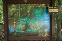
Display Map
Trailhead

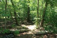
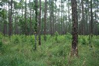
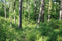
View Of The Trail
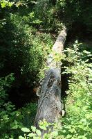
Log Crossings
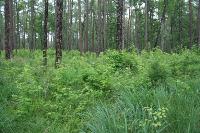
Overgrown Foliage
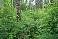
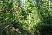
Can You Find The Trail?
Exercise Caution
Poorly Maintained
Easy To Get Lost
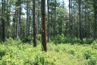
Another View Of The Trail
Area around Trail Between The Lakes