To The Grotto And Beyond!

This is the Trailhead at McKittrick Canyon.
User:
Blaze
- 5/22/2013
Location:
McKittrick Canyon Trail
Rating:

Difficulty:

Solitude:

Miles Hiked: 15.80 Miles
Elapsed Time: 7 hours, 55 minutes
Log Photos
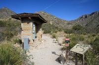
Trailhead
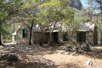
Pratt Cabin
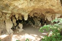
The Grotto
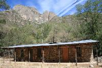
Hunter Line Shack
The Notch
The Bridge
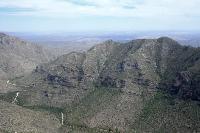
McKittrick Canyon
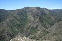
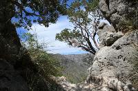
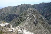
Amazing Views