Roughing It
TH11 is located off FM 2025.
Log Photos
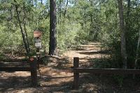
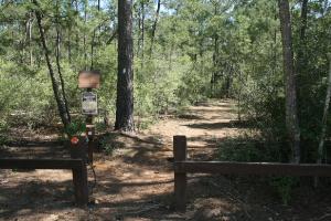
Trailhead #11
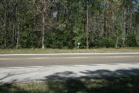
Cross FM2025
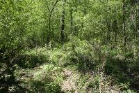
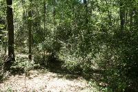
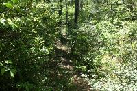
Trail Overgrown
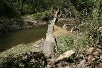
River Crossing
Obstacles
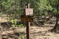
Good Signage
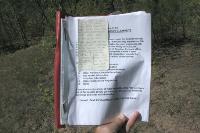
Testimony From Hell
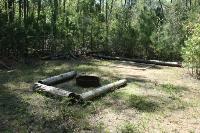
Magnolia Primitive Camp
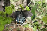
Butterfly
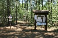
Trailhead #10
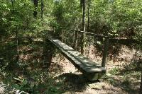
Foot Bridge
Maintenance Overdue
Area around Lone Star Hiking Trail - Magnolia Section